Explore high-performance drone technologies designed for surveillance, defense, industrial inspection, mapping, agriculture, and aerospace operations. Built with AI-powered navigation and autonomous flight capabilities.
Explore CollectionChoose the perfect unmanned aerial vehicle for your mission requirements and operational environment.
Military-grade drones with thermal imaging, night vision, and AI object tracking for tactical operations.
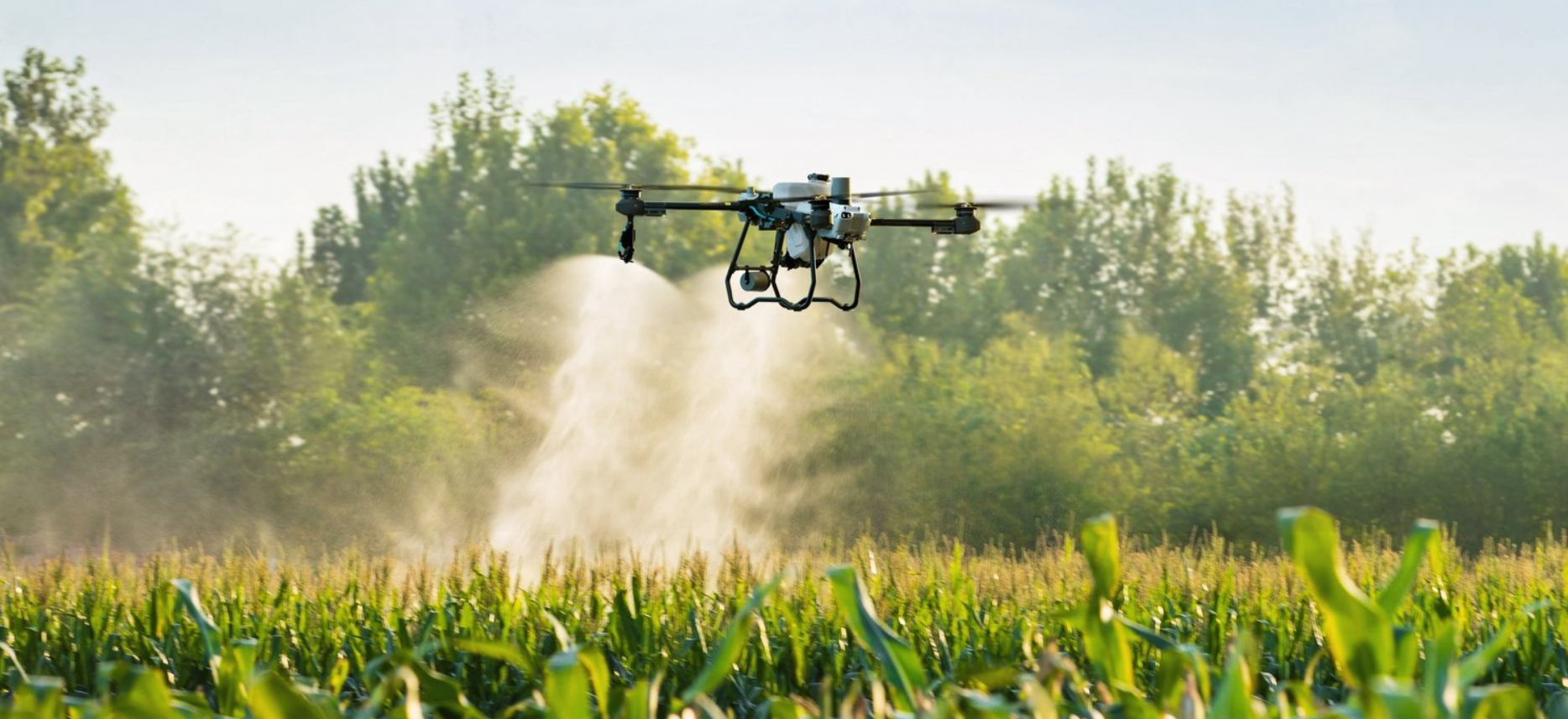
Rs.3,50,000 - Rs.12,00,000Smart crop monitoring drones with multispectral sensors and precision spraying systems.
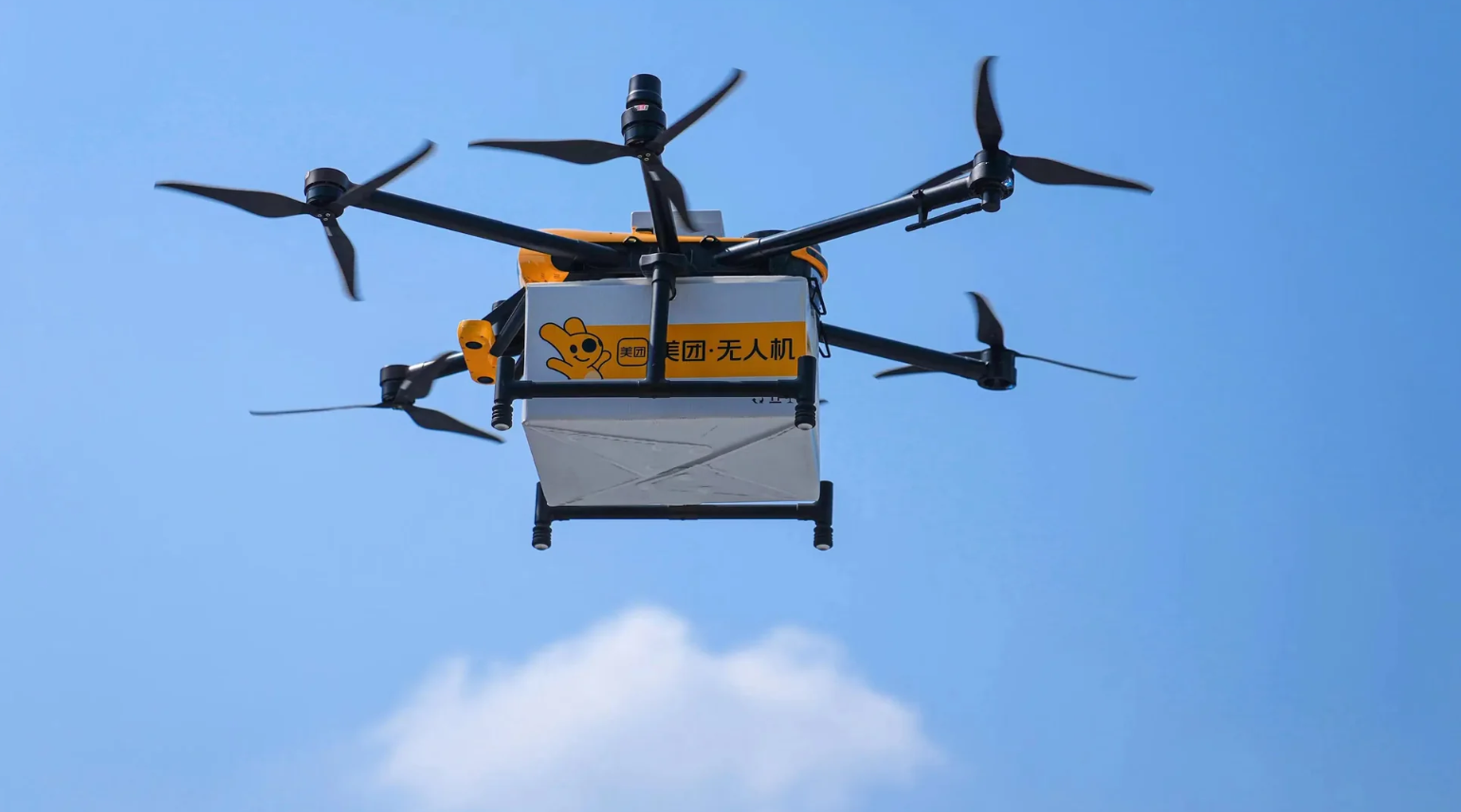
Rs.2,00,000 - Rs.5,00,000Heavy-lift cargo drones for logistics, delivery, and industrial transport operations.
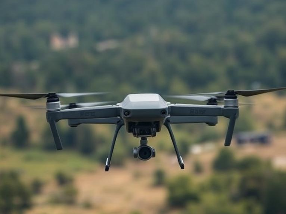
Rs.5,00,000 - Rs.15,00,000Underwater ROVs, racing FPV drones, and industrial inspection UAVs for unique missions.
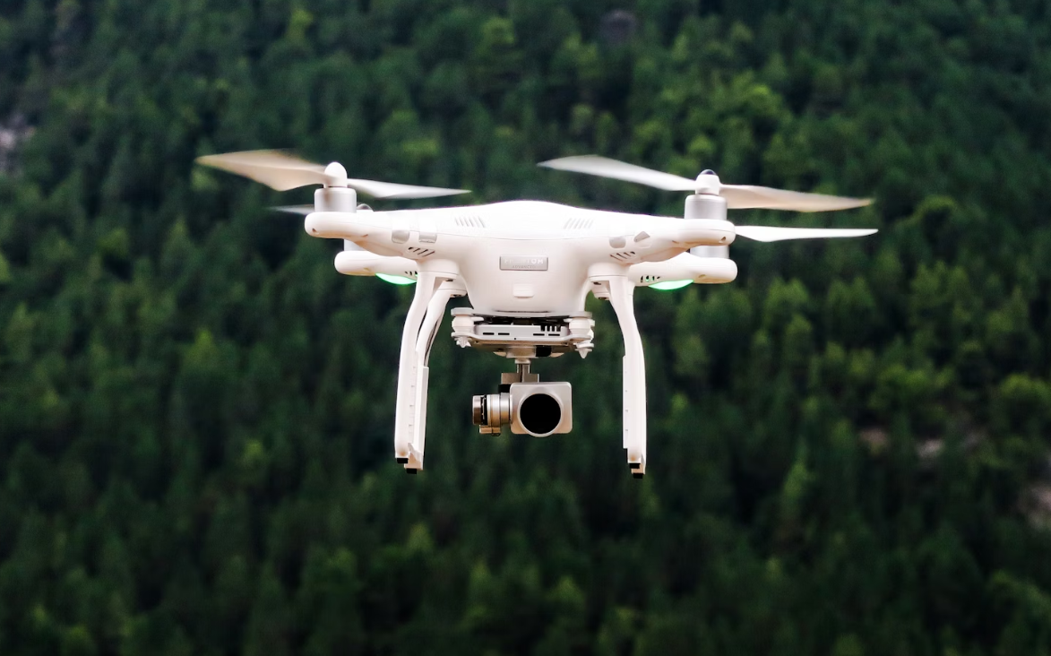
Rs.1,50,000 - Rs.8,00,000Premium autonomous drone systems with modern AI-powered navigation and advanced sensor technology.
Defense & Tactical Series
Military-grade drone built for surveillance, reconnaissance, and tactical operations. Features 4K night vision and AI-powered object tracking for real-time threat detection.
Smart Farming Series
Smart agriculture drone designed for crop monitoring, health analysis, and precision spraying. Equipped with thermal crop sensors and automatic route planning.
Heavy Transport Series
Heavy-duty drone system for cargo transportation, logistics delivery, and industrial equipment movement. High wind resistance with advanced GPS navigation.
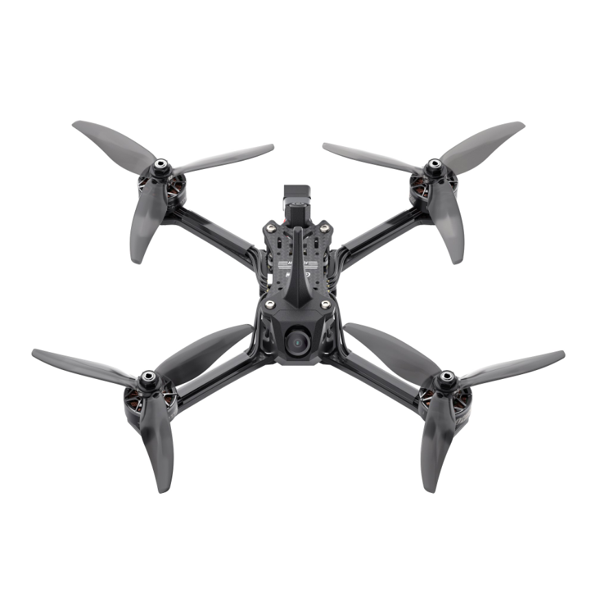
Racing & Entertainment Series
High-speed FPV racing drone with 4K camera, low-latency transmission, and aerodynamic carbon fiber frame. Built for professional drone racing competitions.
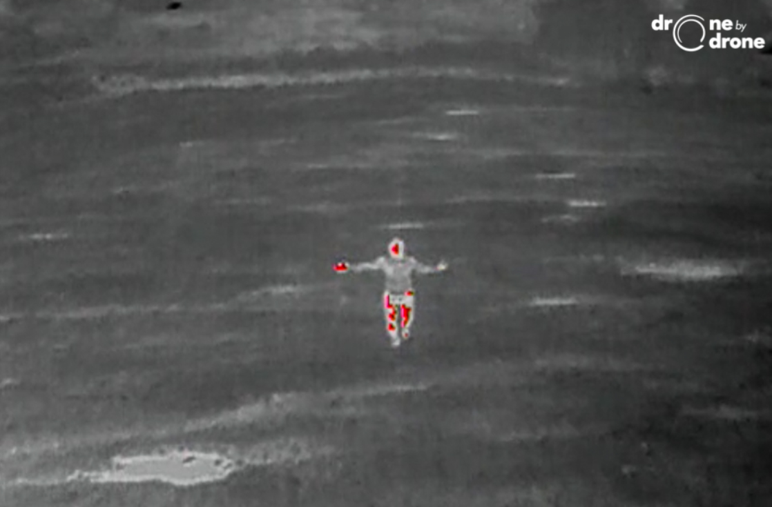
Search & Rescue Series
Specialized search and rescue drone with thermal imaging, loudspeaker, and emergency supply drop. Designed for disaster response and missing person operations.
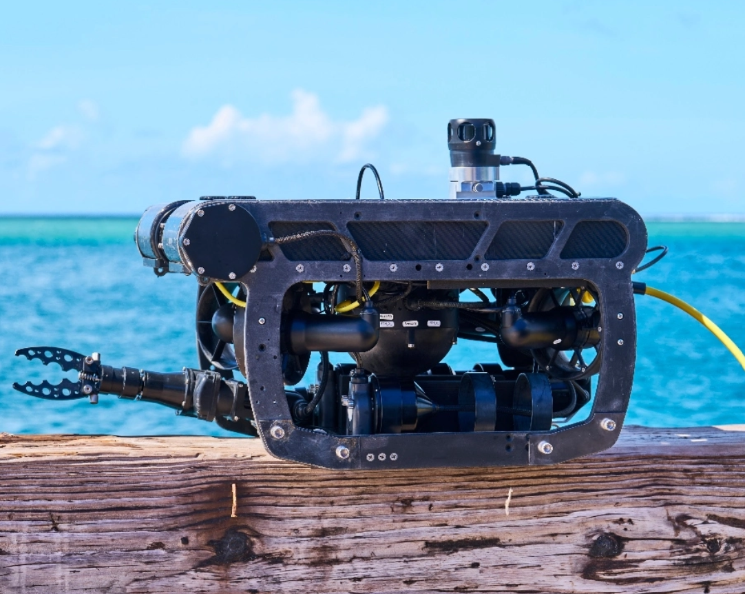
Underwater Inspection Series
Professional underwater remotely operated vehicle for marine inspection, pipeline monitoring, and deep-sea exploration. Tethered operation with 4K camera.
Survey & Mapping Series
Professional surveying drone with LiDAR, photogrammetry, and 3D mapping capabilities. Ideal for land survey, construction monitoring, and urban planning.
Long-Range Recon Series
Long-endurance fixed-wing UAV for border patrol, strategic reconnaissance, and persistent surveillance missions. Wingspan design for extended flight duration.
Understanding the engineering behind our advanced unmanned aerial systems.
Advanced flight controllers with IMU, GPS, and barometer sensors for stable autonomous flight in all conditions.
Machine learning algorithms for obstacle avoidance, path planning, and intelligent mission execution.
Multi-sensor integration combining camera, LiDAR, thermal, and radar data for comprehensive situational awareness.
Encrypted long-range data links with real-time video streaming and telemetry for mission command centers.
Detailed performance metrics and engineering standards across our drone fleet.
Advanced lithium-polymer and solid-state battery systems for extended flight operations.
Multi-band encrypted communication systems with redundant data links for mission reliability.
Multi-sensor camera payloads with thermal, multispectral, and LiDAR integration options.
Dual-redundant flight control computers with real-time kinematic positioning and AI co-pilot.
Comprehensive safety systems meeting DGCA, DGGA, and international aviation standards.
Ruggedized airframes designed for extreme weather conditions across diverse Indian terrain.
Our drones serve critical missions across diverse sectors and operational environments.
Crop health monitoring, NDVI mapping, precision spraying, yield estimation, and soil analysis for modern farming operations.
Power line surveys, bridge inspections, pipeline monitoring, wind turbine assessment, and solar farm thermal audits.
Topographic surveys, 3D modeling, cadastral mapping, mining volumetrics, and construction progress documentation.
Disaster assessment, search and rescue, medical supply delivery, fire monitoring, and flood zone reconnaissance.
Port security patrol, fisheries monitoring, oil spill detection, coastal erosion surveys, and underwater inspections.
Cell tower inspections, signal mapping, antenna alignment, network coverage surveys, and emergency relay deployment.